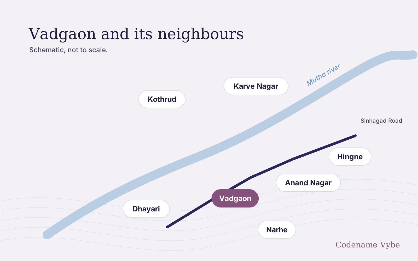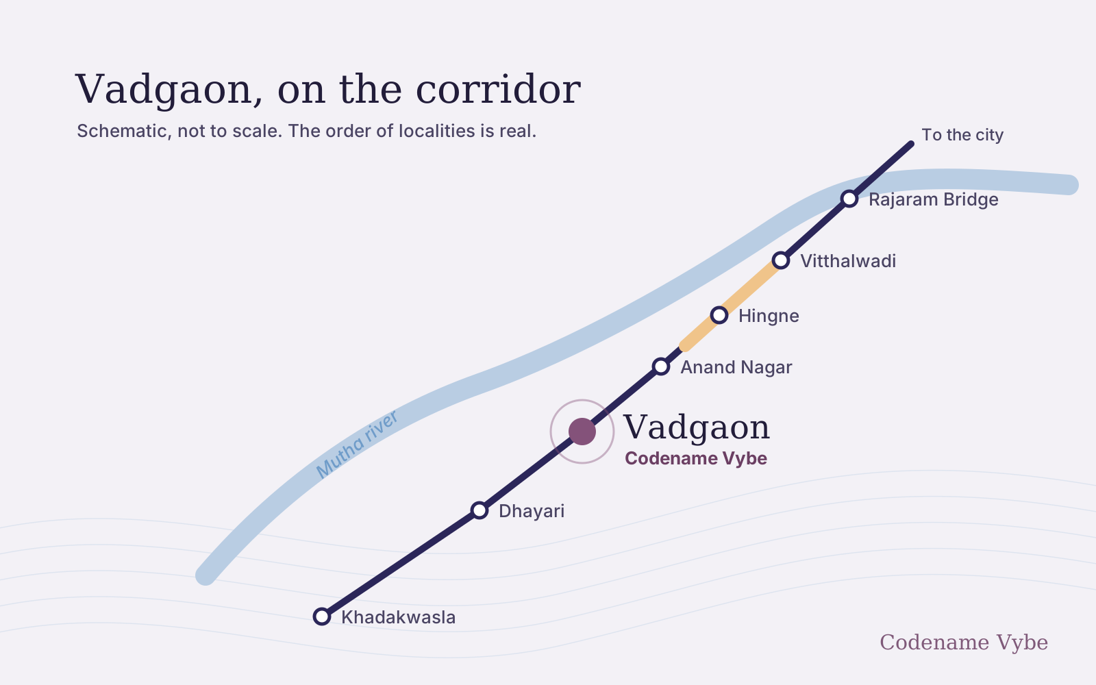
Vadgaon sits on the stretch of Sinhagad Road closest to the Mutha river. In August 2026 the Pune Municipal Corporation (PMC) approved a riverfront project for the banks between Vadgaon Khurd and Rajaram Bridge. It is worth understanding, and worth being cautious about, because the wider riverfront programme is under a state inquiry and has been opposed by environmental groups for years.
What Stretch 6 is
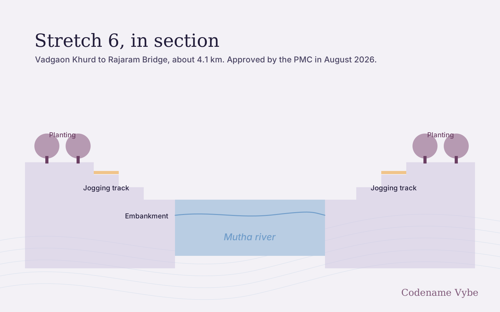
Punekar News reported on 7 August 2026 that PMC Commissioner Naval Kishore Ram had announced, on X, approval for riverfront development on Stretch 6 of the Mula-Mutha programme: about 4.1 km of the Mutha between Vadgaon Khurd and Rajaram Bridge. The works described for this stretch are:
- Flood-protection embankments
- Tree plantation
- Drainage and nullah planning
- Landscaping
- Public spaces, including jogging tracks
The money is less settled. Punekar News reported in July 2025 that the PMC had asked the state Urban Development Department for a grant of ₹300 crore for this stretch under disaster management provisions. The August 2026 report names no contractor, no final cost and no timeline, and we could not find a published tender for Stretch 6.
Why this stretch: the July 2024 flood
The project is a response to flooding. In July 2024, heavy rain led to large releases from Khadakwasla dam into the Mutha, and low-lying housing along Sinhagad Road went under water. The Free Press Journal reported in November 2024 that the army had been deployed for rescues at Ekta Nagar on Sinhagad Road.
The more useful document is the PMC’s own review. A four-member committee report, obtained under the Right to Information Act by activist Vivek Velankar and reported by the Free Press Journal in November 2024, found that the river’s carrying capacity between Khadakwasla dam and Sangam Bridge had shrunk. A release of 60,000 cusecs once caused little waterlogging; releases of 35,000 to 40,000 cusecs now caused major flooding. The report blamed encroachments, debris dumping and structures in the riverbed. Among its recommendations:
- Remove encroachments and restore natural drainage
- Stop solid waste and construction debris entering the river
- Raise riverbanks in flood-prone areas, and build retention ponds and green buffers
- Mark the blue and red flood lines on the city’s development plan and bar new construction in vulnerable areas
Flooding is not only a 2024 story. When Punekar News reported the Stretch 6 approval in August 2026, it noted that Pune had just had its wettest July in 119 years.
The inquiry and the opposition
The riverfront programme as a whole, about 44 km of the Mula and Mutha, is under review. Punekar News reported on 25 April 2026 that the state environment department, in a directive dated 13 April, had ordered a joint inspection by the municipal commissioner, the chief engineer of the Water Resources Department and the regional officer of the Maharashtra Pollution Control Board, following a complaint by environmentalist Sarang Yadwadkar.
The complaint alleges that the project breaches its environmental clearance, granted in November 2024, including a condition that bars any change to the river’s cross-section or carrying capacity, and that consultants used flood levels lower than those recorded by the Maharashtra Engineering Research Institute. These are allegations, not findings, and we found no published outcome of the inspection. The April report does not say whether Stretch 6 falls within it; the works it describes are on other stretches.
Opposition continued after the approval. Punekar News reported in August 2026 that activist Ameet Singh had argued on X that concretisation and ignoring the natural lie of the land had worsened flooding, and that deepening and widening the channel would do more than reinforcing banks. The same report noted that environmental groups have long objected to the programme over channel narrowing, tree felling and harm to riverbank ecology.
There is local history too. Punekar News reported in March 2026 that an earlier riverside road between Vitthalwadi and Warje, challenged at the National Green Tribunal, was ordered demolished by the Supreme Court. The same report described a new proposal, from Minister of State Madhuri Misal, for an elevated road along the Mutha from Vitthalwadi to Nanded City, for which the Urban Development Department had asked the PMC to prepare a detailed report. That is a proposal, not a project.
What it could mean for Vadgaon
If Stretch 6 is built as described, the banks nearest Vadgaon get embankments, drainage work and a riverside walk, and the colonies that flooded in 2024 get more protection. If the inquiry finds that parts of the wider programme narrow the river, designs could change and work could slow. Both outcomes are possible, and neither has a date.
So we would not let the riverfront decide a purchase either way. The questions that matter are about the specific plot, not the river in general:
- Is the plot inside the blue or red flood line?
- Did the building, or its lane, take water in July 2024?
- What do the sanctioned plans show for basement drainage and ground-floor levels?
- How far is the plot from the bank? That depends entirely on the exact location.
The developer presents Codename Vybe as a riverine collection. Its exact site has not been published, so this site makes no claim about its distance from the river or from Stretch 6. The location page describes how Vadgaon sits between the road and the river, and the Vadgaon locality guide covers the area more broadly. For the exact location, or to walk the site yourself, get in touch here.