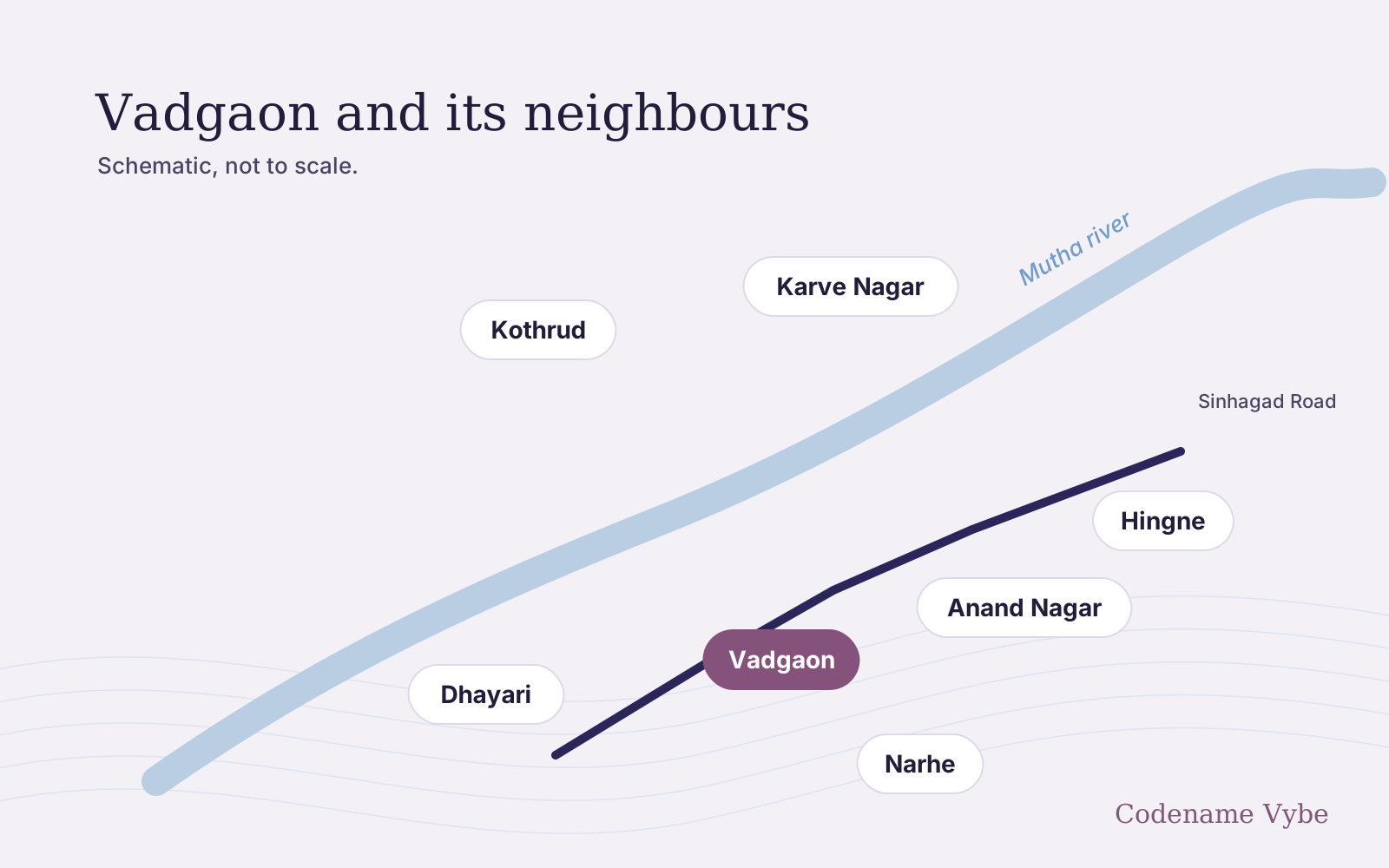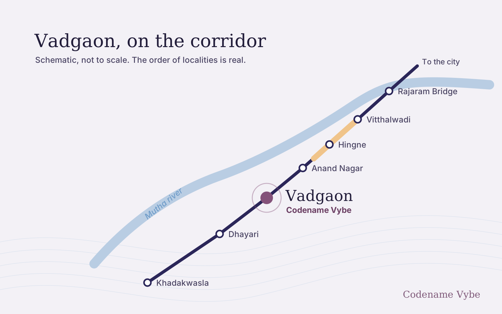
Sinhagad Road runs beside the Mutha for much of its length. In July 2024, releases from Khadakwasla dam flooded housing societies in Ekta Nagar and nearby, and the army was called in. Water has come back since. This article sets out what happened, what the Pune Municipal Corporation (PMC) found, how the flood lines work and what any buyer near the river should check.
What it does not do is say whether Codename Vybe’s plot is affected. The exact site has not been published, so we cannot answer that, and nobody should answer it without seeing the site’s position against the flood lines.
What happened in July 2024
Heavy July rain filled the four dams of the Khadakwasla project, and releases into the Mutha rose sharply on the night of 24 to 25 July 2024. The Bridge Chronicle put the peak at 35,000 cusecs in August 2024; some other reports gave higher figures. On the morning of 25 July, the same paper reported about 200 residents stranded in five societies: Ekta Nagari, Dwarka, Jalpujan, Sharda Sarovar and Shyam Sundar. Residents said nobody had warned them about the increased discharge.
The same day, Punekar News reported that an army column of about 95 personnel, with rescue boats, had been sent to Ekta Nagar in Anand Nagar, on Sinhgad Road. The Free Press Journal reported in August 2024 that residents had been evacuated at least three times, and quoted the then Chief Minister as saying the Ekta Nagar buildings had been permitted by gram panchayats before the blue flood line was drawn.
What the PMC found
On 26 July 2024 the municipal commissioner set up a four-member committee of senior engineers to study the flooding. The Bridge Chronicle reported in September 2024 that the PMC would not publish the report, and that the commissioner described its main finding as excessive rainfall in the dam catchment.
The report became public anyway. Activist Vivek Velankar obtained it under the Right to Information Act, and the Free Press Journal reported its contents in November 2024. It said the river’s carrying capacity between Khadakwasla dam and Sangam Bridge had shrunk: a release of 60,000 cusecs once caused little waterlogging, while 35,000 to 40,000 cusecs now caused major flooding. It blamed encroachments, unauthorised construction, debris dumping and structures in the riverbed, and recommended, among other things, marking the blue and red flood lines on the city’s development plan.
A PMC survey counted 1,383 flats and 67 shops in 103 buildings inside the flood lines at Ekta Nagar, The Bridge Chronicle reported in September 2024, alongside a cluster rehabilitation plan estimated at about ₹698 crore. By June 2025 the PMC was calling a protective wall along the river “the most viable option”, and had asked the state for ₹300 crore to build it, Punekar News reported.
It has happened since
| When | What was reported | Source |
|---|---|---|
| 21 August 2025 | Seven families, 35 people, moved out of Ekta Nagar | PMC disaster management records, cited by the Free Press Journal, August 2026 |
| 8 July 2026 | Discharge rose to 27,203 cusecs by 5:30 am, and water entered the Dwarka and Jalpujan societies | Punekar News, 8 July 2026 |
| 31 July 2026 | Discharge raised from 35,574 to 43,571 cusecs; floodwater entered three societies in Ekta Nagar and about 40 families were moved | Free Press Journal, 31 July 2026 |
In July 2026 water entered societies at about 27,000 cusecs, well below the releases of 2024: the lowest-lying buildings take water long before the headline figures. The Free Press Journal reported in August 2026 that the rehabilitation plan and the retaining wall were still proposals, with the PMC’s disaster management officer saying the focus was on timely warnings, evacuation and relief.
How the flood lines work, and why they may move
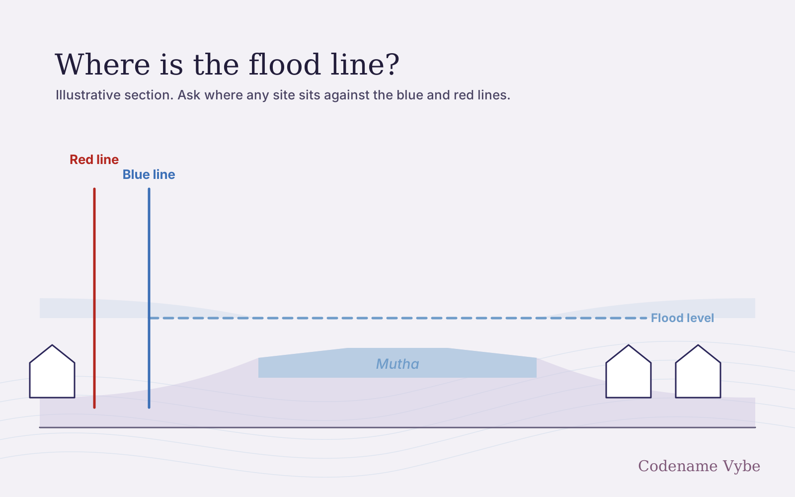
The state’s irrigation department draws two lines along each river. The blue line marks the highest flood expected in any 25-year period, and the red line the highest expected in 100 years, as the Free Press Journal explained in August 2024. In broad terms, the land between the river and the blue line is a prohibitive zone, where new buildings are not allowed, and the band between the blue and red lines is a restrictive zone, where building is allowed with conditions, as SANDRP, a network that campaigns on rivers, summarised in August 2026.
The lines themselves are under review:
- The Bridge Chronicle reported in January 2025 that a reassessment by the Maharashtra Engineering Research Institute would make the flood zones along the Mula and Mutha nearly twice as wide.
- On 30 June 2025 the Bombay High Court gave an expert committee and the state four months to finalise and act on a scientific review of Pune’s flood lines, Punekar News reported.
- In February 2026 the state set up a 12-member committee to re-examine flood lines across Maharashtra, and in September 2026 the Central Water and Power Research Station was reported to be studying the carrying capacity of the Mula and Mutha, both according to Punekar News.
We found no report that revised lines for the Mutha have been adopted. The practical point is that a plot just outside today’s line may not be outside a revised one, so the margin matters as much as which side of the line a plot is on.
What to check, anywhere along the river
- The flood lines. Ask for the plot’s position relative to the blue and red lines, shown on a drawing and confirmed in writing, and ask which version of the lines the building permission relied on.
- Ground and basement levels. How high is the ground floor above the red-line flood level and above the road? Is there a basement, and where do the water pumps, electrical panels, generator and lift pits sit?
- Drainage. Where does storm water go, is there a nullah or stream close by, and can water back up into the basement when the river is high?
- History. Ask neighbouring societies whether water reached them in July 2024 or July 2026. Residents remember.
- Insurance. The standard home policy, Bharat Griha Raksha, which insurers were asked to offer from 1 April 2021, lists flood and inundation among the perils it covers, Outlook Business reported in January 2021. Read the wording of any policy you buy, and ask how the society insures the structure and shared equipment.
Where the riverfront fits
The riverfront plan for this stretch is a response to these floods. The PMC approved about 4.1 km between Vadgaon Khurd and Rajaram Bridge in August 2026, with flood-protection embankments and drainage among the works. It has no published timeline, though, and the wider programme is under a state inquiry, with critics arguing that works which narrow the channel reduce its capacity. The riverfront article covers both sides. We would not treat embankments that do not yet exist as protection for a home bought today.
The developer presents Codename Vybe as a riverine collection, but its exact site has not been published, so this site makes no claim about its distance from the river or its position against any flood line. Ask for that position, and for the sanctioned plans showing ground and basement levels. A MahaRERA registration number has not been published yet either. Once it is, read the registered documents against the answers you have been given, as the MahaRERA guide explains.
The location page describes the corridor as a whole. To ask for the site’s position relative to the flood lines, get in touch here.